Friday 10/16 was our most physically demanding day in the park. Jason and I got an early start and headed up to Clingman’s Dome by road, the highest point in the park and in Tennessee. The road wound up to the higher elevations to the south of us, climbing into the morning fog and clouds that shrouded the mountain tops, with occasional pockets of clear skies and sunlight.
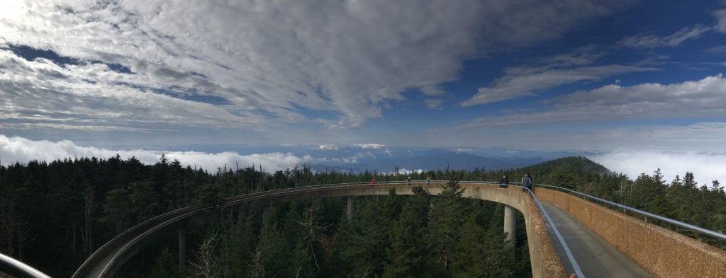
From the vantage point of the tower at the top of Clingman’s Dome, we had a 360-degree view of the surrounding mountain ranges.

After the beautiful morning on the dome, we set off from the parking area onto Forney Ridge Trail, descending gradually to the south, with ridgetop views towards both sides — Forney Creek valley and Suli Ridge to the west, and Mill Creek valley and Jerry Bald Ridge to the east.
We experienced many different sub-ecosystems on our hike — from misty pine forest to dry grass and ferns — as we hiked from Clingman’s Dome past Andrew’s Bald (lunch stop) and Buckhorn Bald down to Board Camp Gap, where we rested at the junction with the Spinghouse Brook Trail before starting the long climb back up to the highest point in the park.
All told we covered 11.3 miles and climbed a cumulative 2720 ft… quite the day!
[All photographs are copyright 2020 Nalin A. Ratnayake. They are free to use and share for any non-commercial purpose, with attribution and a link to the original post on naratnayake.com, without modification, and provided that this text is also included.]
Photos posted here were taken with a Canon EOS Rebel T1i and the EF 28-105mm 1/3.5-4.5 II USM lens. Images were compressed to 1/4 resolution and 85% image quality for easier upload and sharing. The panoramic and video were taken with an iPhone7.